Experience the future
Try our software today - ABSOLUTELY FREEFree program versions, user manuals, installation instructions, examples !!!
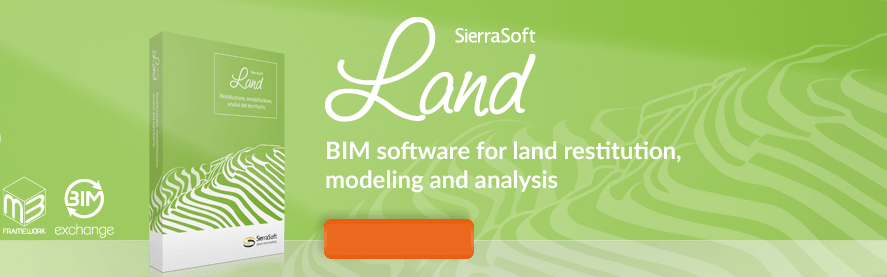 Thank you for your interest in the SierraSoft Land.
SierraSoft Land is a BIM software for land restitution, modeling and analysis.
With SierraSoft Land, you can handle land survey of any size carried out with various types of tools, such as total stations, GPS, laser scanners, and drones.
In order to be able to use the program, you have to follow the procedure described here : Activate Trial Version.
Thank you for your interest in the SierraSoft Land.
SierraSoft Land is a BIM software for land restitution, modeling and analysis.
With SierraSoft Land, you can handle land survey of any size carried out with various types of tools, such as total stations, GPS, laser scanners, and drones.
In order to be able to use the program, you have to follow the procedure described here : Activate Trial Version.
|
You have to sign up in order to be able to download.If you want, you can contact us for further details : [email protected] |
|---|
| Please wait while you are redirected...or Click Here if you do not want to wait. |