Topography – Roads – GIS – ACE-Hellas SA | Specialty tools for surveying and creating digital terrain models. Fully localized software, which allows the study projects, road, rail and plumbing works in a single GUI topographic background.
Convert raster images into DWG™ objects with the powerful vectorization tools of AutoCAD® Raster Design. Easily edit, enhance, and maintain scanned drawings and plans in a familiar AutoCAD environment. Make the most of raster images, maps, aerial photos, satellite imagery, and digital elevation models.
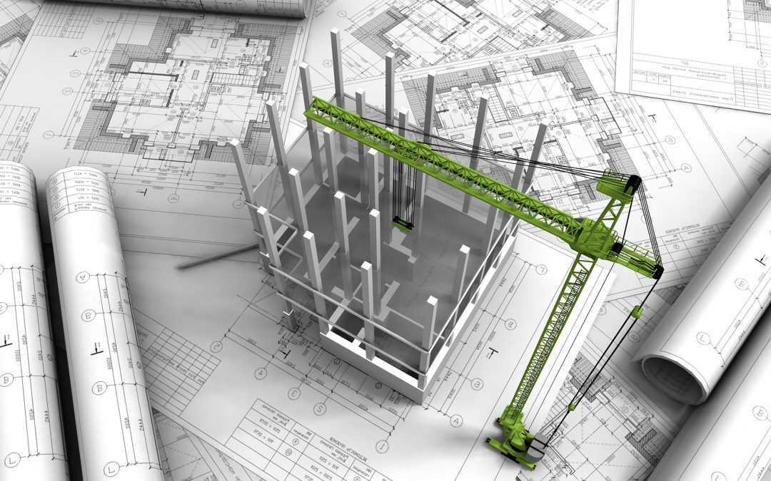
Revit software delivers tools that support architectural design, MEP engineering, structural engineering, and construction. Revit is specifically built for Building Information Modeling (BIM) to help you design, build, and maintain higher-quality, more energy-efficient buildings. Comprehensive features make it an ideal solution for the entire building project team.
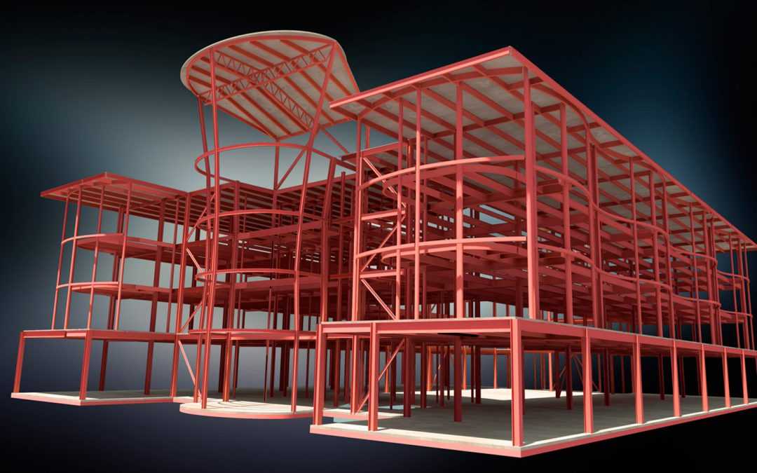
Autodesk® Robot ™ Structural Analysis Professional is a comprehensive analysis and design of any structure (buildings, bridges and special structures) reinforced concrete, steel, aluminum, wood etc.. Includes national planning regulations of many countries and all Eurocodes. It combines the advanced analysis capabilities of each entity type and complexity, with all the convenience and simplicity of a friendly environment.
SCADA Pro (Structural Computer Aided Design & Analysis) is an integrated software application for static and dynamic analysis and design of reinforced concrete, steel, timber and masonry structures, according to Eurocodes (the European standards for the design of buildings and other civil engineering works and construction products) and the respective National Annexes for most European countries.